Agronomy and Map+
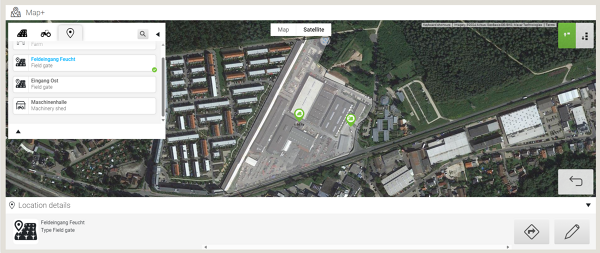
Set locations and navigate to them
If seasonal staff are involved or new employees have to be trained, the biggest challenge is knowledge of location. Finding the field entrance, the beet clamp or the grain silo is not only a challenge on large farms.
FendtONE offboard can provide you and your team with optimum support:
- Determination of locations for farms, biogas plants, field entrances, scales, storage clamps, silos, mobile silos, compost, tanks, machine halls, machines and implements
- Navigation to all specified locations or machines that share their location via GPS position using Google Maps

Plan activities based on the field weather
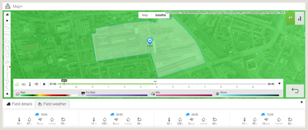
If areas of the farm are some distance away from the farm centre, the question arises, especially for crop protection applications: What are the current conditions in the field? Is it windy or has it rained? For effective maintenance measures, these questions must be answered before the tractor-implement combination sets off.
FendtONE offboard allows you to keep an overview:
- Area-specific weather conditions based on IBM weather (also used by weather.com)
- Radar for rain, cloud cover, temperature and wind speed
- Depending on the parameter, retrospective up to 11 hours and prospective up to 6 hours Specification of the values

